Air quality news
Pyrenees Fire Evacuations, Aspen Acres and FireSat Launch — July 6, 2026
Canairy · 4 min read · 2026-07-06
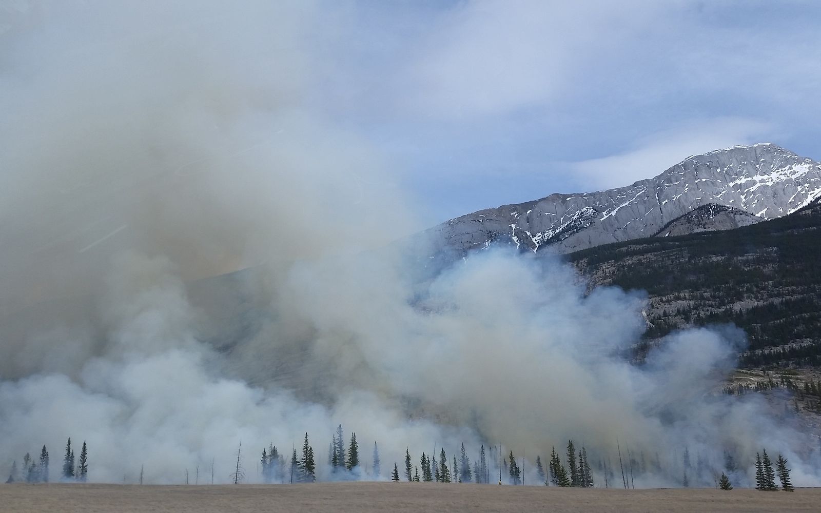
Large fires on both sides of the Atlantic lead the news today, along with a satellite launch aimed at spotting fires faster and a refinery incident that has Detroit watching its air.
Wildfire in southern France forces 10,000 to evacuate and clears fans from the Tour de France
A wildfire burning out of control in the foothills of the French Pyrenees has forced about 10,000 people from two dozen small towns and villages near the Spanish border, Reuters reports. The fire started Saturday evening near Trévillach and has scorched roughly 4,600 hectares, with officials warning that strong winds on Monday would fan the flames further. Early-summer heatwaves across western Europe have left vast areas of land especially vulnerable to fire this year.
The blaze is burning near the route of the Tour de France's third stage, and the Associated Press reports that organizers barred spectators from the stage finale in Les Angles so emergency services could move freely. Nearly 700 firefighters are battling the fire, and the local prefect said five people have been slightly hurt.
Colorado's Aspen Acres Fire is now the seventh-largest in state history
The Aspen Acres Fire in southern Colorado has grown to more than 89,000 acres, making it the seventh-largest wildfire in Colorado history, Newsweek reports. The fire, first reported on June 29 in Pueblo and Custer counties, was 14 percent contained as of Sunday evening. Officials say it was human-caused, though the investigation is ongoing.
New mandatory evacuation orders went out Sunday for parts of Fremont County, including the towns of Williamsburg, Coal Creek, and Rockvale, adding to evacuations already in place for communities including Beulah, Rye, San Isabel, Wetmore, and Colorado City. If you're anywhere near an active fire, evacuation maps from the county sheriff are the most reliable place to check your status.
New satellites promise faster wildfire detection
Three satellites set to launch early Tuesday from Vandenberg Space Force Base are the first phase of FireSat, a planned 50-satellite constellation that will eventually image fires around the globe every 20 minutes, the Los Angeles Times reports. The satellites' thermal sensors can detect fires as small as a beach bonfire, as well as cooler fires that have been smoldering for days.
That distinction matters for air quality: smoldering fires produce far more smoke per pound of wood burned than hot, fast-burning ones. The nonprofit Earth Fire Alliance says data from these first satellites will reach Cal Fire and fire agencies in Oregon, Texas, and Australia in the coming months.
Detroit monitors air quality after refinery power outage triggers flaring
Officials are monitoring air quality around Marathon's Detroit refinery after a power outage led to controlled burning of gases, known as flaring, CBS News reports. Visible smoke from the flaring concerned nearby residents, but Detroit Mayor Mary Sheffield said state and refinery monitoring had "not detected gas readings of concern" as of Sunday night.
Officials in nearby Melvindale noted a very light sulfur reading but said there was nothing to be alarmed about. A stretch of Schaefer Road was closed as a precaution.
Sources
- Thousands evacuated from homes in southwest France as wildfire burns — Reuters
- Wildfire in France forces Tour de France to ban fans from stage finale — The Associated Press
- Satellite Images Show Colorado Fire As New Evacuations Ordered — Newsweek
- New FireSat satellites promise faster California wildfire detection — Los Angeles Times
- Power outage at Marathon refinery in Detroit prompts controlled gas burning — CBS News
Canairy aggregates publicly reported air-quality and wildfire news and summarizes it in plain English, with links to the original sources. This is educational information, not medical or emergency advice. In a wildfire or air-quality emergency, follow guidance from local authorities.